Velenkosini Prof Land Surveyors
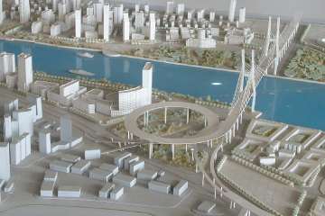
TOWN PLANNING
We specialize in rendering of a holistic services based on the principles of development planning (planning by the community for the community) . Township Establishment and Development Implementation . Urban Development Planning. Strategic and Policy Planning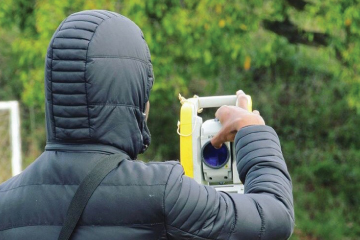
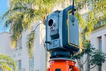
TOPOGRAPHICAL SURVEYS
Using latest technology as such as drones, scanners, GPS and robotic total stations we map and survey the Earth surface with the highest degree of accuracy to produce Contours, digital terrain models and site plans.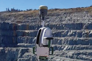
VOLUMETRIC SURVEYS
Survey & reporting of stock piles, open cast mining, quarries and dumps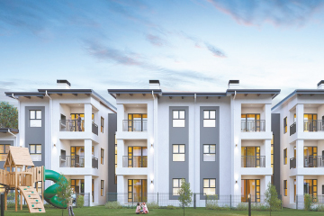
SECTIONAL TITLE SURVEYS
Drafting & Creation of New Sectional Title Schemes. Amending Existing Sectional Title Schemes
ENGINEERING SURVEYS
Establishment of site control. As built Surveys. Road Surveys. Setting Out Roads, Buildings, Structures, Pipe lines, Electric Power lines, etc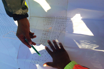
CADASTRAL SURVEYS
Township Establishment, Surveying & Registration. Subdivision of Land. Consolidation of Land . Property Boundary surveys / Relocations. Resolving Land boundary disputes. Creation of Servitudes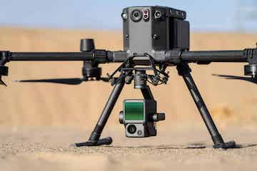
DRONE & LIDAR SURVEYS
We establish Fixed Ground Control Points for aerial surveys through post processing methods. We map earth features through the use of airborne lidar methods in order to produce contour surveys & aerial images with accurate Ground Sampling Distance.
UNDERGROUND UNTILITIES DETECTION
With the use of latest technology and Ground Penetrating Radar we map subsurface services.